Vibrant Urban Centers
Creating compact, walkable communities that prioritize housing affordability, safety, and vitality for all Rogue Valley residents.
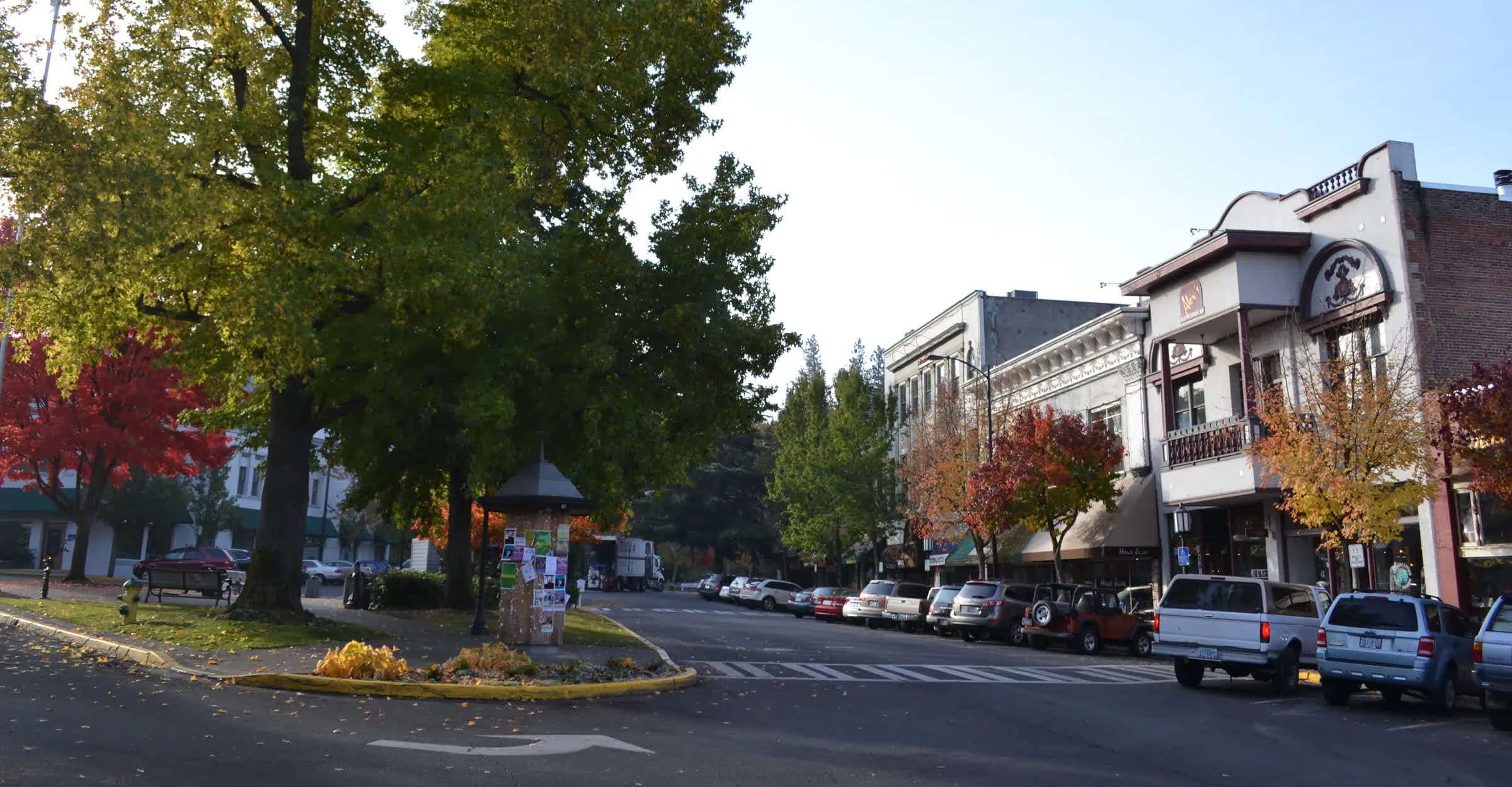
Downtown Ashland by Visitor7, cropped, licensed CC BY-SA 3.0
What is a Vibrant Urban Center?
Developing and maintaining vibrant urban environments is a cornerstone of Oregon's planning program and a key part of our mission.
Homes Near Daily Needs
Promoting mixed-use development where housing is integrated with services, reducing the need for long commutes.
Safe Streets & Crossings
Designing urban environments with the most vulnerable users in mind—ensuring safety for children, seniors, and the disabled.
Transportation Choices
Facilitating a transition from car-dependency to a robust network of foot, bike, and transit options.
Local Business Vitality
Compact development keeps local customers close to independent shops, fueling the Rogue Valley economy.
Great Public Spaces
Championing parks, plazas, and community hubs that serve as the "living rooms" of our urban centers.
Parking Balance
Encouraging "right-sized" parking strategies that prioritize land for people and housing over empty stalls.
Smart Growth Protects Everything Else
Growth in the Rogue Valley is inevitable, but how we grow matters. By supporting local governments in their efforts to increase housing density within existing Urban Growth Boundaries (UGBs), we protect what lies outside of them.
Compact development is the most effective tool we have for promoting housing affordability. By enabling more homes where demand is highest, we reduce sprawl pressure on our vital farmlands and forests.
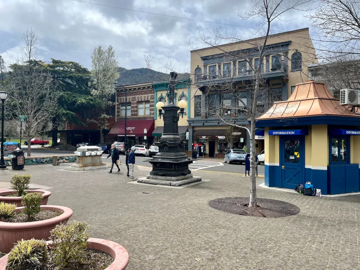
"Cities with vibrant urban environments put a priority on people, not parking."
Reducing Automobile Dependence
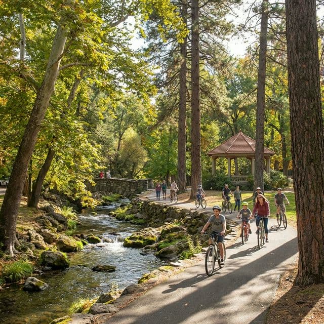
Facilitating safe and convenient access to commercial destinations by foot, bike, or transit isn't just about movement—it's about quality of life.
Less driving means reduced congestion, lower carbon emissions, and a significant reduction in the associated impacts of resource-gobbling sprawl that threatens our region's resilience.
Our Monitoring Criteria
Rogue Advocates conducts a practical, criteria-based review of development proposals in the Rogue Valley to ensure consistency with Oregon’s long-held planning goals.
How We Engage
Track
Monitoring city planning filings for proposals that affect urban density and mobility.
Engage
Providing expert testimony and community support for proposals that prioritize people over sprawl.
Act
Holding decision-makers accountable when land use laws or sustainability goals are ignored.
Metrics for Success
These are the indicators that tell us whether the Rogue Valley is actually growing inward. Every figure below comes from a public source you can check yourself.
Homes the state says must fit inside existing city limits
Oregon's 20-year housing production targets for every urban growth boundary in Jackson and Josephine County — homes that must be built inside the boundaries rather than by expanding them. Medford alone accounts for 20,910 of it; Grants Pass 9,031; Ashland 3,525.
Derived: the sum of the state's published 20-year targets for all thirteen UGBs in the two counties — 30,908 across Jackson's eleven cities, 9,385 across Josephine's two. Oregon publishes each city separately; the regional total is ours.
Bus routes still running, down from 16
RVTD cut service from 16 routes to six in September 2025, ended Saturday service, and has not restored it. Route 10 — the Medford–Ashland spine, the best service in the valley — runs every 30 minutes, weekdays only. No corridor here meets the 15-minute standard planners use for frequent transit.
Low-stress miles of the bike network
RVMPO’s adopted plan maps a ~299-mile regional walking and biking network. About 27 miles of Regional routes are currently comfortable for all ages and abilities, plus ~30 miles of Connector routes. The 20-mile Bear Creek Greenway is the backbone — but there is still no I-5 crossing for 1.5 miles between E Pine Street and Railroad Park.
Walk access to daily needs
No regional agency tracks whether Rogue Valley residents can reach groceries, schools, or a bus stop on foot. The closest official figure is roughly 26 low-stress pedestrian miles out of the same ~299-mile network. The absence of this measurement is itself worth naming.